GIRST 2022
2022 International Conference on Geographic Information and Remote Sensing Technology(GIRST 2022)was hold both online and offline conference on September 17, 2022.
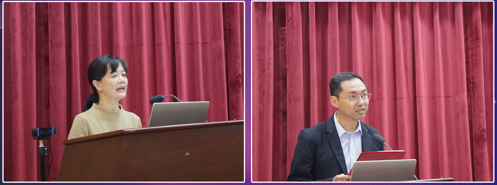
Ceremonial Speech
Left,Prof. Yingmei Wu, Faculty of Geography,Yunnan Normal University, China
Right,Prof. Yang Wang, Faculty of Geography,Yunnan Normal University, China

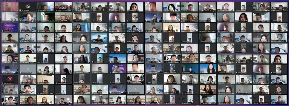
Online Group Photo

Offline Group Photo

11 Keynote Speeches

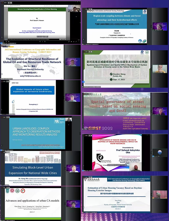
Prof. Quazi K. Hassan, University of Calgary, Canada Quazi K. Hassan
教授,加拿大卡尔加里大学
Speech Title: Remote sensing based quantification of urban warming
报告题目:基于遥感的城市变暖定量分析
Prof. Ye Wei, School of Geographical Sciences, Northeast Normal University, China
魏冶 教授,东北师范大学地理科学学院
Speech Title: Structural Resilience Evolution of Global Oil and Gas Resource Trade Network
报告题目:全球油气资源贸易网络结构的韧性演化
Assoc Prof. Guangdong Li, Institute of Geographic Sciences and Natural Resources Research, Chinese Academy of Sciences
李广东 副研究员,中国科学院地理科学与资源研究所
Speech Title: Global Impacts of Future Urban Expansion on Terrestrial Biodiversity
报告题目:未来城市扩张对陆地生物多样性的全球影响(Nature子刊成果)
Prof. Roman Shults, Czech Technical University in Prague
Roman Shults 教授,捷克布拉格捷克理工大学
Speech Title: Urban Landslides: Complex Approach to Observation Methods and Monitoring Results Analysis
报告题目:城市山体滑坡:观察法和监测结果分析的复合方法
Prof. Kang Wu, Beijing Key Laboratory of Megaregions Sustainable Development Modelling, Capital University of Economics and Business, China
吴康 教授,首都经济贸易大学城市经济与公共管理学院
Speech Title: Simulating Block-Level Urban Expansion for National Wide Cities
报告题目:模拟全国城市的街区级城市扩张
Assoc Prof. Yihan Zhang, School of Culture Tourism and Geography, Guangdong University of Finance and Economics, China
张亦汉 副教授, 广东财经大学地理与旅游学院
Speech Title: Advances and applications of urban CA models
报告题目:城市元胞自动机的前沿与应用
Prof. Yongxian Su,Guangzhou Institute of Geography,
Guangdong Academy of Sciences, China
苏泳娴 研究员,广东省科学院广州地理研究所
Speech Title: Regional Scale Coupling Between Climate and Forest Phenology and Their Hydrothermal Effects
报告题目:气候与森林物候之间的区域尺度耦合及其水热效应
Assoc Prof. Shaojian Wang,School of Geography and Planning, Sun Yat-sen University, China
(M.D. Huibin Mo, School of Geography and Planning, Sun Yat-sen University, China)
王少剑 副教授,中山大学地理科学与规划学院
(莫惠斌 硕士,中山大学地理科学与规划学院)
Speech Title: Spatiotemporal Evolution and Spatial Effect Mechanism of Carbon Emission at County Level in the Yellow River Basin
报告题目:黄河流域县域碳排放的时空格局演变及空间效应机制
Assoc Prof. Yilun Liu, School of Public Administration,
South China Agricultural University, China
刘轶伦 副教授,华南农业大学公共管理学院
Speech Title: Spatial governance of street vendors based on social sensing and GeoAI
报告题目:基于社会感知和GeoAI的摊贩空间治理
Assoc. Prof. Saheed Adeyinka Oke, Central University of Technology, Free State, South Africa
Saheed Adeyinka Oke 副教授,南非自由州中央理工大学
Speech Title: Application of Remote Sensing and GIS in Mapping of Urban Developmental Impact on Water Resources.
报告题目:遥感和地理信息系统在绘制城市发展对水资源影响图中的应用
Prof. Yang Wang, Faculty of Geography, Yunnan Normal University, China
王 洋 研究员,云南师范大学地理学部
Speech Title: Estimation of Urban Housing Vacancy Based on Daytime Housing Exterior Images
报告题目:基于白天住房外景图像的城市住房空置估算
8 Oral Presentations

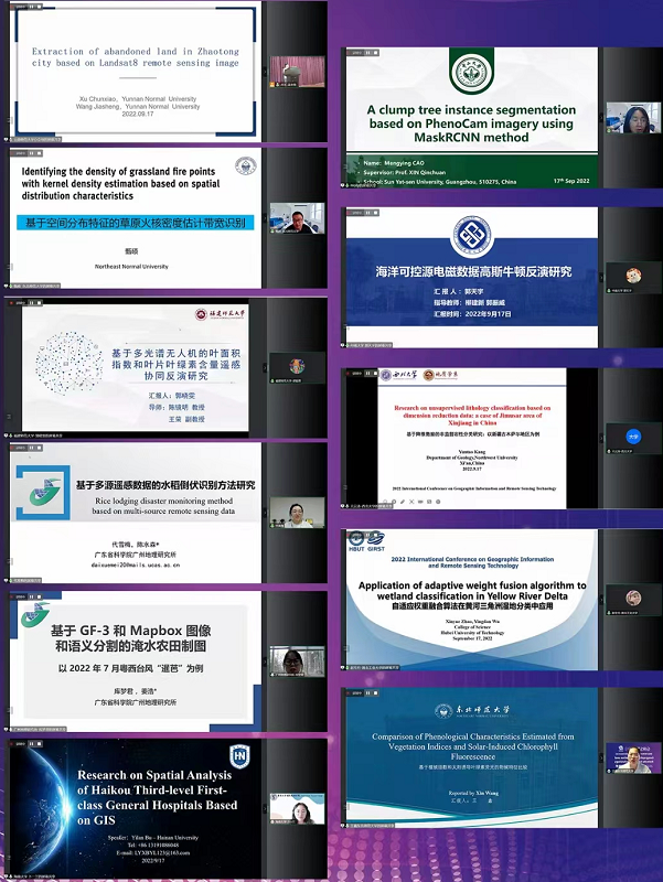
Xuemei Dai,Guangzhou Institute of Geography, Guangdong Academy of Sciences
代雪梅,广东省科学院广州地理研究所
Report Title: Rice lodging disaster monitoring method based on multi-source remote sensing data
报告题目:基于多源遥感数据的水稻倒伏识别方法研究
Ku Mengjun,Guangzhou Institute of Geography, Guangdong Academy of Sciences
库梦君,广东省科学院广州地理研究所
Report Title:Flooded Cropland Mapping Based on GF-3 and Mapbox Imagery Using Semantic Segmentation: A Case Study of Typhoon Siamba in Western Guangdong in July 2022
报告题目:基于 GF-3 和 Mapbox 图像语义分割的淹水农田制图:以 2022 年 7 月粤西台风“暹芭”为例
Xin Wang, Northeast Normal University
王鑫,东北师范大学
Report Title:Comparison of Phenological Characteristics Estimated from Vegetation Indices and Solar-Induced Chlorophyll Fluorescence
报告题目:基于植被指数和太阳诱导叶绿素荧光的物候特征比较
Yilan Bu, Hainan University
卜一兰,海南大学
Report Title:Research on Spatial Analysis of Haikou Third-level First-class General Hospitals Based on GIS
报告题目:基于地理信息系统的海口市三级甲等医院空间分析
Mengying Cao,School of Geography and Planning, Sun Yat-sen University
曹孟莹,中山大学地理科学与规划学院
Report Title:A clump tree instance segmentation based on PhenoCam imagery using MaskRCNN method
报告题目:基于PhenoCam图像使用MaskRCNN方法的单木分割
Tianyu Guo,School of Geosciences and Info-physics, Central South University
郭天宇,中南大学地球科学与信息物理学院
Report Title:Two-dimensional Gauss-Newton inversion based on marine CSEM data
报告题目:二维海洋电磁数据高斯牛顿反演
Yuntao Kang,Department of Geology, Northwest University
亢云涛,西北大学地质学系
Report Title:Research on unsupervised lithology classification based on dimension reduction data: a case of Jimusar area of Xinjiang in China
报告题目:基于降维数据的非监督岩性分类研究:以中国新疆吉木萨地区为例
Xinyue Zhao,College of science, Hubei University of Technology
赵辛月,湖北工业大学理学院
Report Title:Application of adaptive weight fusion algorithm to wetland classification in Yellow River Delta
报告题目:自适应权重融合算法在黄河三角洲湿地分类中的应用